Craig Mod on The Talk Show
Interesting take on the morality of using AI
But I have a hard time parsing out what is moral or amoral about how this stuff is being used, or how the information’s been gleaned, or whatever it’s been sucked up from.
-✂️ snip-
00:03:25 ◼ ► I don’t use any of the photo generation crap or whatever.
00:03:28 ◼ ► What I do think is profound, and I feel like it’s way more morally defensible, is the code generation stuff, just because of all the open source stuff, yada, yada
The Talk Show ✪: Ep. 421, With Craig Mod
The Sea
▶︎ The Sea | Francisco del Pino/Charlotte Mundy | Notice Recordings
wilding.radio
From the famous Knapp estate via Joe
we have installed a solar-powered, quadrophonic live audio feed just north of the dam: A pair of hydrophones brings us closer to the sounds of the water itself and reveals the tiny sounds of fresh-water organisms. A pair of microphones in a fallen willow tree let us get to know the birds and mammals that live near and visit the water and hear the play of weather in the trees.
wilding.radio
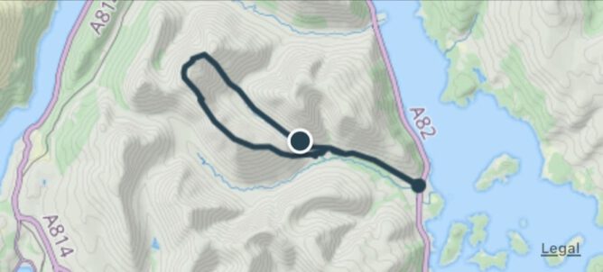
Organic Maps
I’ve installed this on my phone with the intention of giving it a shot for recording walks.
Organic Maps is a privacy-focused offline maps & GPS app for hiking, cycling, biking, and driving. Absolutely free. No ads. No tracking. Developed with love by the open-source community. Powered by OpenStreetMap data.
Organic Maps is one of the few applications nowadays that supports 100% of features without an active Internet connection. Install Organic Maps, download maps, throw away your SIM card, and go for a weeklong trip on a single battery charge without any byte sent to the network.
Organic Maps: Offline Hike, Bike, Trails and Navigation
Poetry on the line
Quite delightful raspberry pi project.
a vintage phone brought to life with Raspberry Pi
Poetry on the line: a vintage phone brought to life with Raspberry Pi – Raspberry Pi
My ‘secret strings’ game to unlock ‘texts’
Looks like a good classroom activity.I’ve done similar occasionally but the prompt is much better than mine.
You tell the children/students that they are going to be poem or story ‘detectives’ and their job is find the ‘secret strings’ in a poem or story – or play or any ‘text’.
Secret strings run within texts linking words, phrases, sentences and pictures or ‘images’. The students’ job is to find them.
Sometimes the link is to do with sound – eg alliteration, assonance, rhythm, rhyme, repetition, long phrases, short phrases.
Michael Rosen: My ‘secret strings’ game to unlock ‘texts’ (stories, poems, plays, non-fiction etc)