Well this is fun. The Feature image on this post is shrunk & compressed. Via Joe Jennet

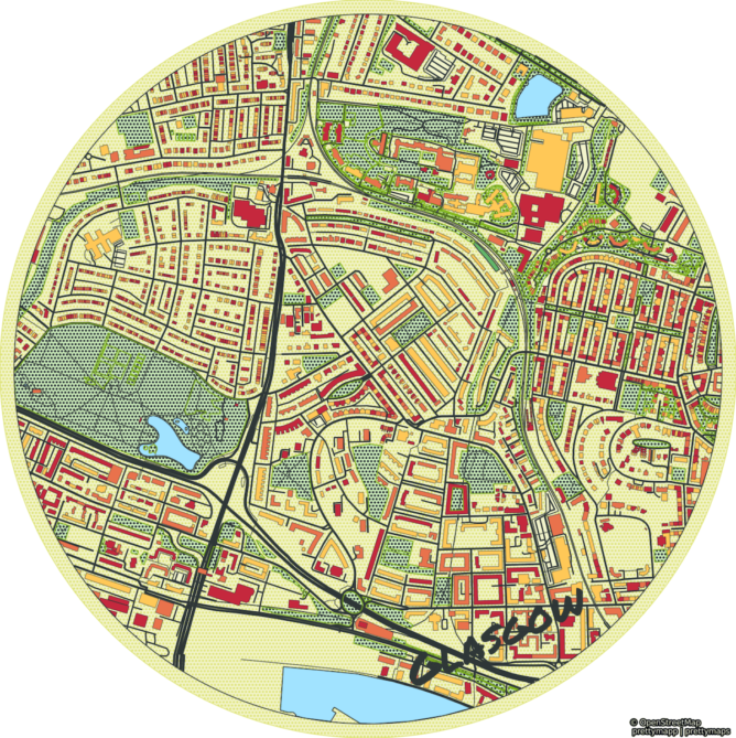
More infos and stars at github.com/chrieke/prettymapp
Well this is fun. The Feature image on this post is shrunk & compressed. Via Joe Jennet
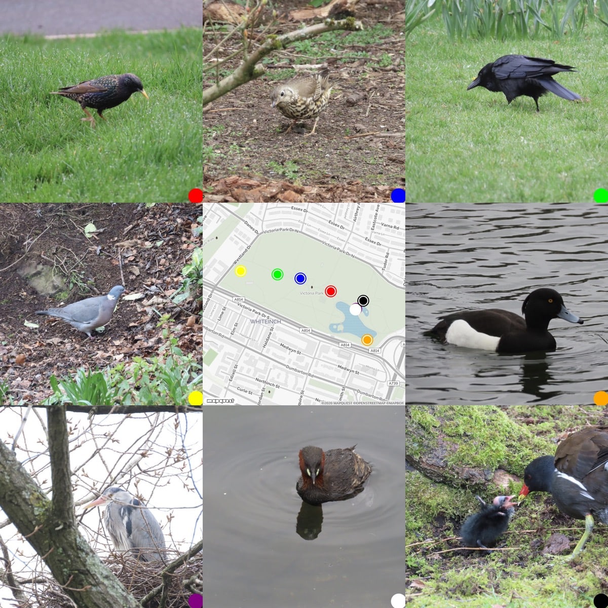
Victoria Park Birds
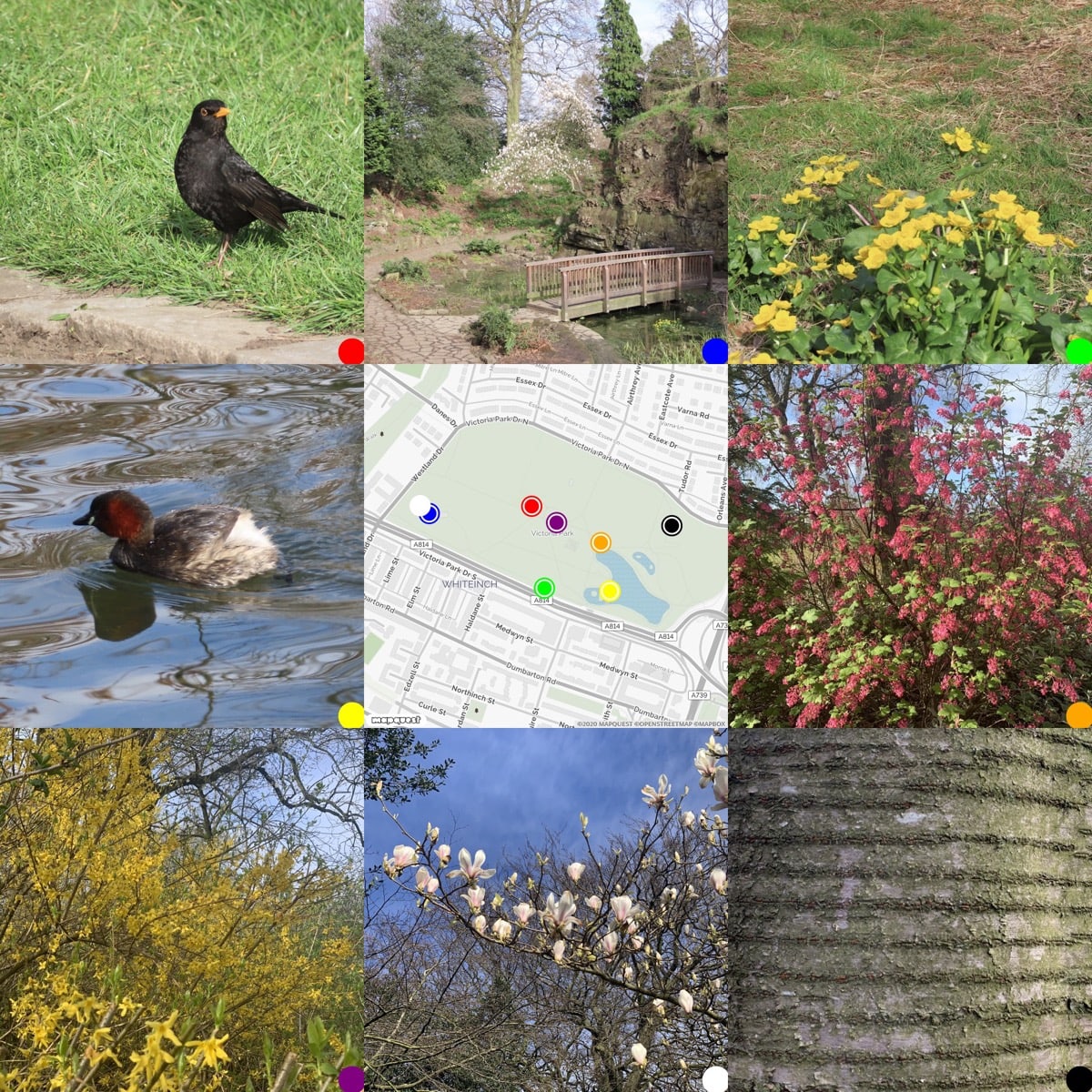
This morning’s walk in the park.
Thanks Greg, I presume the walkmaps. I have hope to build different views of these and eventually to bring them into WordPress in someway. What I like about flickr is that its API is easy for amateurs to play with. Amazing resource.
Kml2gpx.com: convert kml to gpx online. It’s free, simple and fast I am digging out some old mapped walks from dropbox and converting them to work on my site so this is handy.
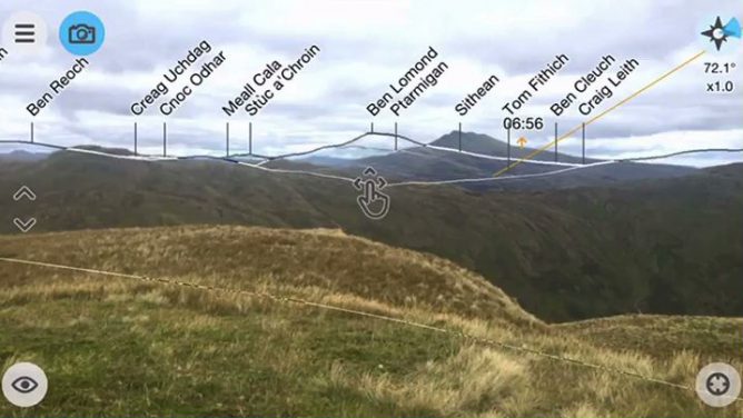
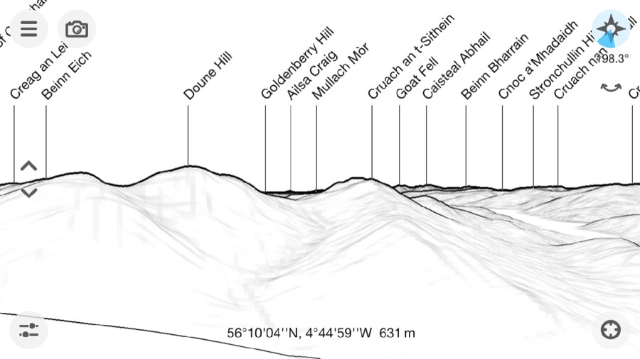
I’ve been using the PeakFinder app for a month or two now. It is a nice app for showing what hills are in view. Basically it give a ‘live’ wireframe of hilsl from your location or anywhere you like. All the features are listed PeakFinder App.
Today I opened the app and it must have been updated, because it gave me a message saying:
Augmented reality
For a long time many of you have asked for an option to combine the image of the camera with the panorama drawing. l’ve finally implemented this feature in this newest version and so PeakFinder now also supports true augmented reality.
This is quite amazing, and in my tests it works a treat.
I think this is the first AR I’ve seen that makes be think this could really be useful and soon. It is not much of a stretch to imagine a botany app that can recognise flowers.
What is cool about peakfinder is that the data is loaded so that you do not need a connection to use the application.
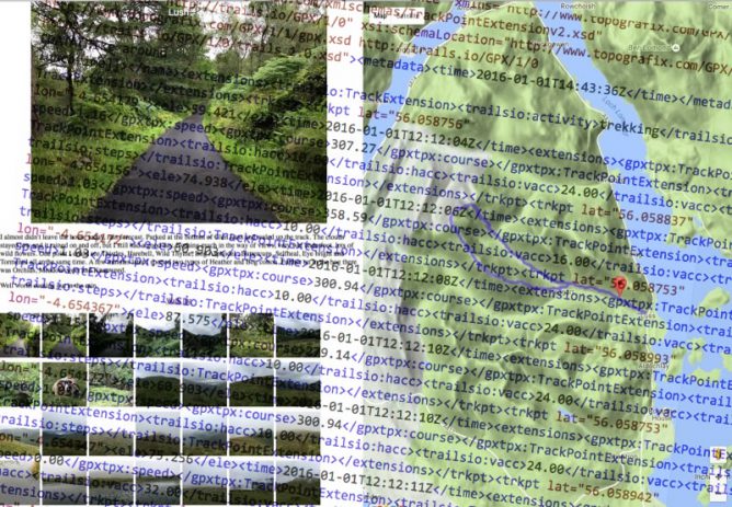
I occasionally make simple mashup of of gpx, google maps and flickr photos of walks. I record gpx on the Trails app on my phone, take photos with the phone too as they are nicely geo tagged and flickr can use that information and provide in the API 1.
One of the things I noticed was that the GPX files can be pretty big, over a megabyte each. I know there was probably a lot of information in the file that was not needed to display the path on the map but was not sure of how to do so easily. I think I’ve used online services for this before. Finding a site, uploading a file and downloading is a lot of bother for something that I hope will be quick and simple. I also expect that the audience for the pages produced is one.
Having a look inside the gpx files I though that you could probably slim them down considerably, each point is recorded like this:
<trkpt lat="55.996687" lon="-4.389713"><ele>188.609</ele><time>2016-06-05T10:12:58Z</time><extensions><gpxtpx:TrackPointExtension><gpxtpx:speed>1.30</gpxtpx:speed><gpxtpx:course>206.37</gpxtpx:course></gpxtpx:TrackPointExtension><trailsio:TrackPointExtension><trailsio:hacc>5.00</trailsio:hacc><trailsio:vacc>3.00</trailsio:vacc><trailsio:steps>2</trailsio:steps></trailsio:TrackPointExtension></extensions></trkpt>
I am pretty sure all we need is:
<trkpt lat="55.996687" lon="-4.389713"><ele>188.609</ele></trkpt>
and that a regular expression could do the trick.
I don’t know anything about RegEx other than I’ve found it offered as a solution when googling text replacement problems but this:
replace: <extensions>.*?</extensions> with nothing
followed by replace: <time>.*?</time> with nothing
I am guessing I could combine these, but it didn’t take long to run through a few files using them in this crude form.
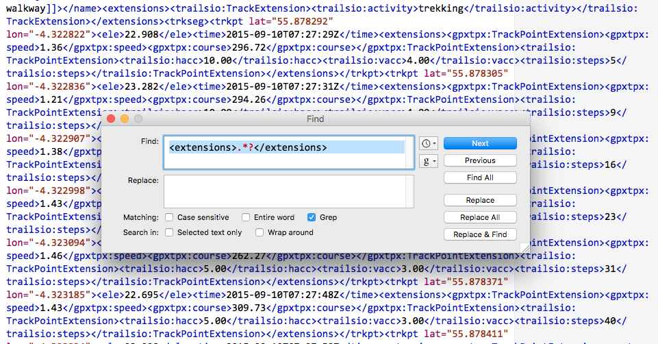
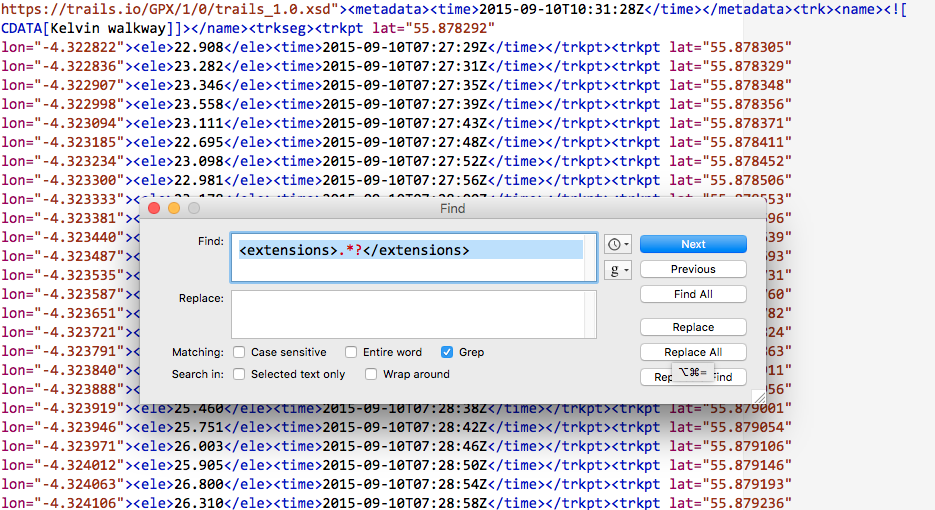
did the trick. My 1MB file was now 160KB
This works both in BBEdit and TextMate. TextMate struggled a bit with the size of the files.
This post will be of little interest to anyone but myself and might just fit in the suchlike bit of this blogs sub title.
Featured Image: two screenshots, layered. my own CC-BY.
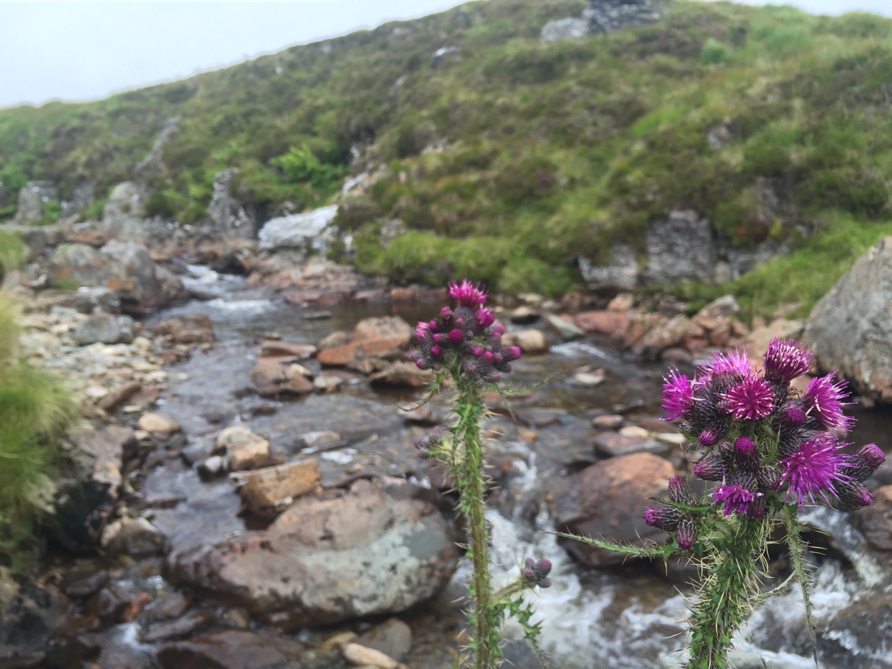

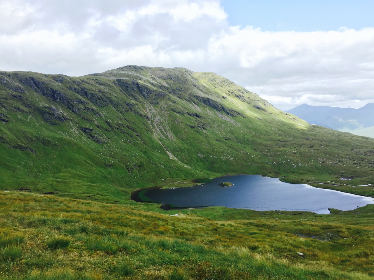
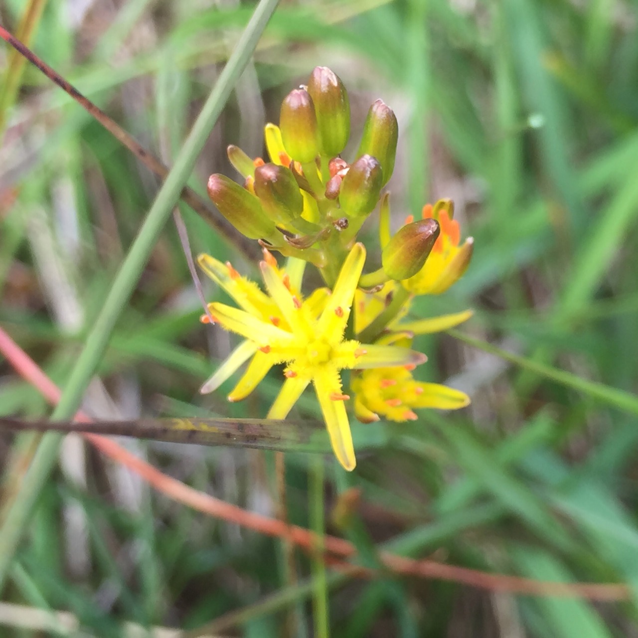

I am testing the WP-OSM-Plugin I was hoping that the map would show the photos on markers as well as the GPX track I’ve uploaded. There is an example: EXIF-Test-page | WordPress OpenStreetMap Plugin
The shortcode I am using looks ok to me and the photos are geotagged. I added a fullsized one because the thumbnails are stripped of geo-tags. So I expected the one big photo to show up at least….
[osm_map_v3 map_center="56.379,-4.727" zoom="12" width="100%" height="450" file_list="/blog/wp-content/uploads/2015/08/been-oss-loch-oss.gpx" import="exif_m" marker_name="mic_black_camera_01.png"]
I’ve been interested in combining maps and media for a while now. Here is a recap of some of the methods I’ve been using. I’ve not often had the chance to do this sort of thing in a teaching situation but continue to believe that mapping media would be a valuable way to record experiences for pupils and a nice slant on digital storytelling.
Last Sunday I had a walk to Benvane & Ben Ledi recorded the gpx with the iPhone Trails app (one of my top 10 apps) took photos, video and some panoramas. Here are the three ways I’ve been developing of displaying them on the web. None of these are good as examples of story telling as I am still thinking about the workflow and tech.
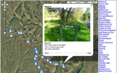
I’ve built up a fair collection of these over the last few years. this one only uses iPhone photos which means I can skip the stage of matching photos to the gpx file. When I started doing these google maps API was at version 1, I move to 2 and now am behind version 3.
This is the most conventional story combining an image with text in a liner fashion along the track.
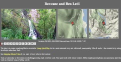
Benvane and Ben Ledi video map
I just blogged about this in the previous post
I am hoping that this can produce a more contemplative result.
Although I’ve only just worked out how to do this the workflow is a lot simpler than the photo maps. I’ve developed a mac application (using SuperCard) to make these. All I need to do is to drag some iphone videos out of iPhoto onto the application and it creates the smaller versions of the video and the HTML to display them along side the maps
I you have a mac and would be interested in trying the app, let me know.
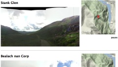
This is the most recent development, after tweeting about the Video Maps @drewburrett suggested using photosynth for the iPhone to take pano photos and do something similar. I’ve not got a workflow for creating these and don’t think I’ve got the display method right yet but I am quite excited about working out different ways to present pano photos.
As I said I’ve been messing with maps and media for a long time (2006 example) I’ve blogged about it a fair bit, pretty much in a vacuum. I’d be really interested in finding some folk to play along with or a school interested in trying out some of this stuff.
I’ve blogged before about the wonderful Hmsg Spiral Map a project that combines video, audio and google maps into a mesmerising meditative experience.
Recently I noticed that iPhoto shows the location of videos as well as audio which got me thinking a wee bit. I checked out a few exif tools and found that the location was stored in exif data in the same way as photos.
I already had made some crude tools to map walks on google maps and made an odd foray into adding sounds to the photos: burn, so though I might be able to knit together some video and maps.
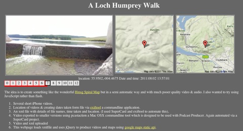
After a few false starts I manage to do this:
This is a webpage that shows a series of videos with a couple of maps pointing to the location the video was shot at. When one video ends the next is automatically loaded. You can jump around by clicking the numbers.It information: videos urls, locations and time shot is stored in an xml file, this is loaded by some javascript (jquery)
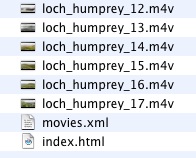
The list of movies and locations are loaded from an xml file that is a very simple list:
<item><file>loch_humprey_02.m4v</file><loc>55.9323,-004.4594</loc><dc> 2011:08:02 21:27:10</dc></item>
I though xml was a good idea as it would allow reuse to display the movie in different ways. As the movies are shown the location is used to show a couple of images using the google maps static api. This first Video Map Experiment was cobbled together using a couple of command line tools (pcastaction, built into Mac OS X and ExifTool by Phil Harvey). I am not knowledgeable about shell stuff but it can often help do interesting things and once you figure it out is easy to reuse.
After a couple of tries I’ve made a Supercard project that sorts this all out, here is what I did to make the A Loch Humphrey Walk
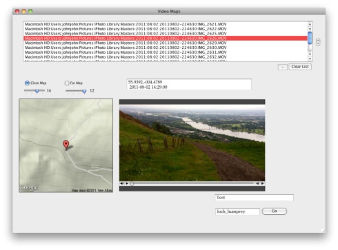
I then upload folder to server via ftp.
Getting the JavaScript stuff sorted out took me a wee while and quite a few wrong turnings, but it all seems to work on both Mac & Windows with FireFox, Safari or IE now. I started to write about the gory details in this post, but decided to split them off and I’ll put them up somewhere else sometime soon. I also hope to make the Supercard Project available for anyone who is interested. (If you want to see an early version let me know)
I hope this could be an interesting way to tell a story, record a trip or describe a place. I’d be interested to know what other folk think.
 Greg McVerry