
This was supposed to pan across, but my clockwork egg timer has weakened and stopped after a minute. This should have gone across several of the Arrochar Alps.
Tag: walk
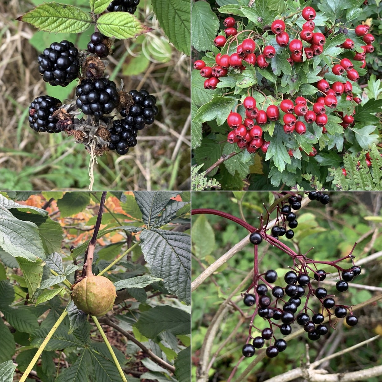
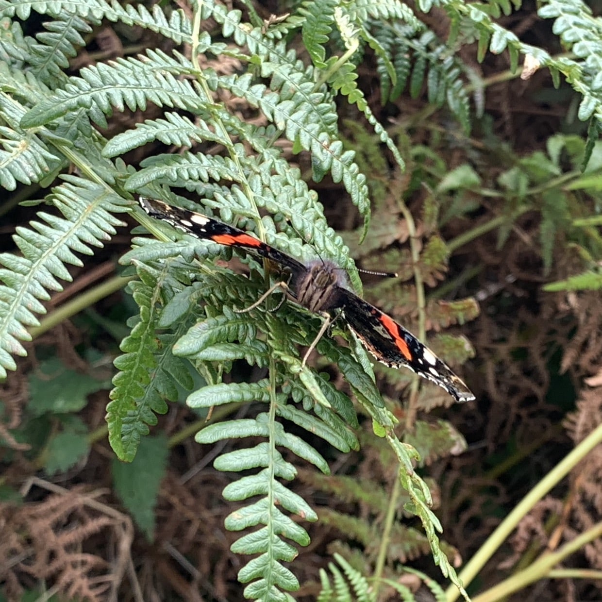
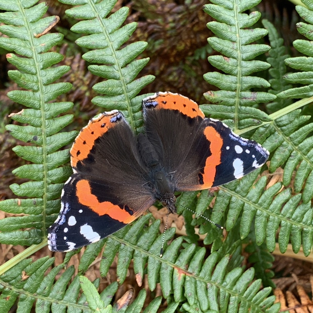
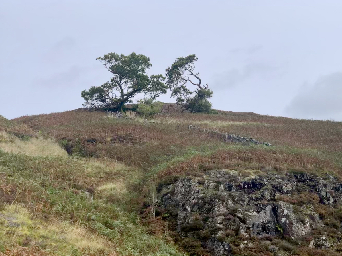
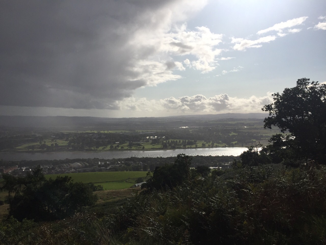
Had a quick walk around the Kilpatrick moor to the Slacks Trigpoint and back. Overcast with a fairly strong breeze. Autumn seems to have started. Saw a couple of Red Admirals when the sun tried to get through.
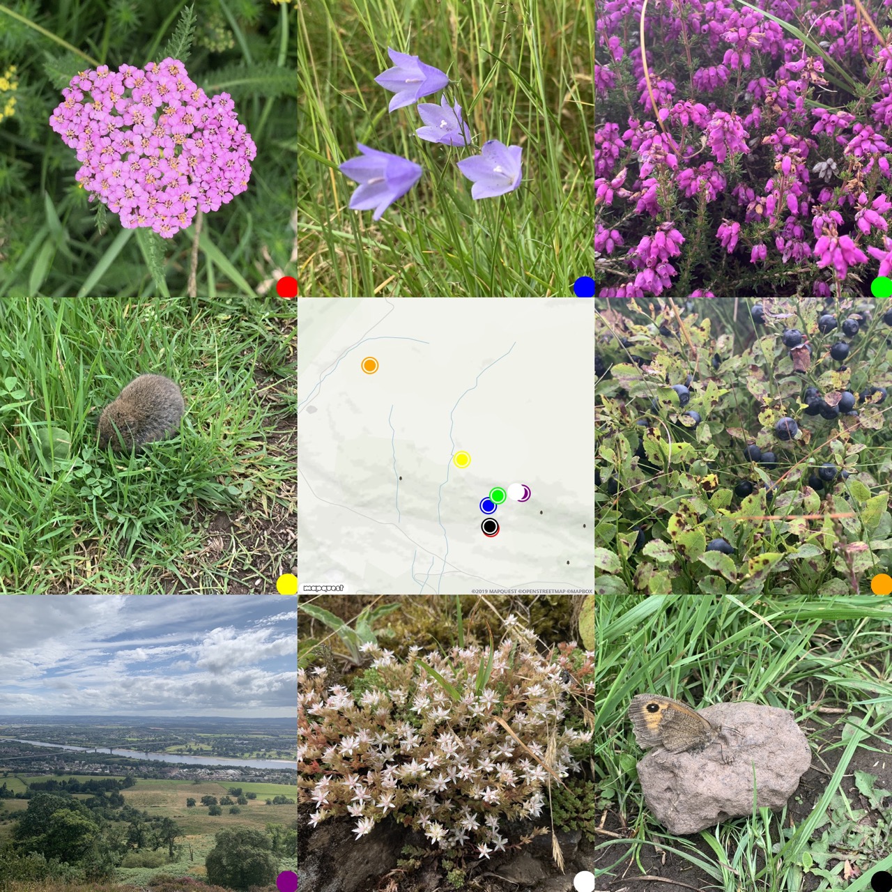
Yesterday’s walk: Kilpatrick Braes – Slacks Trig Point, notes, photos, map: walkmap
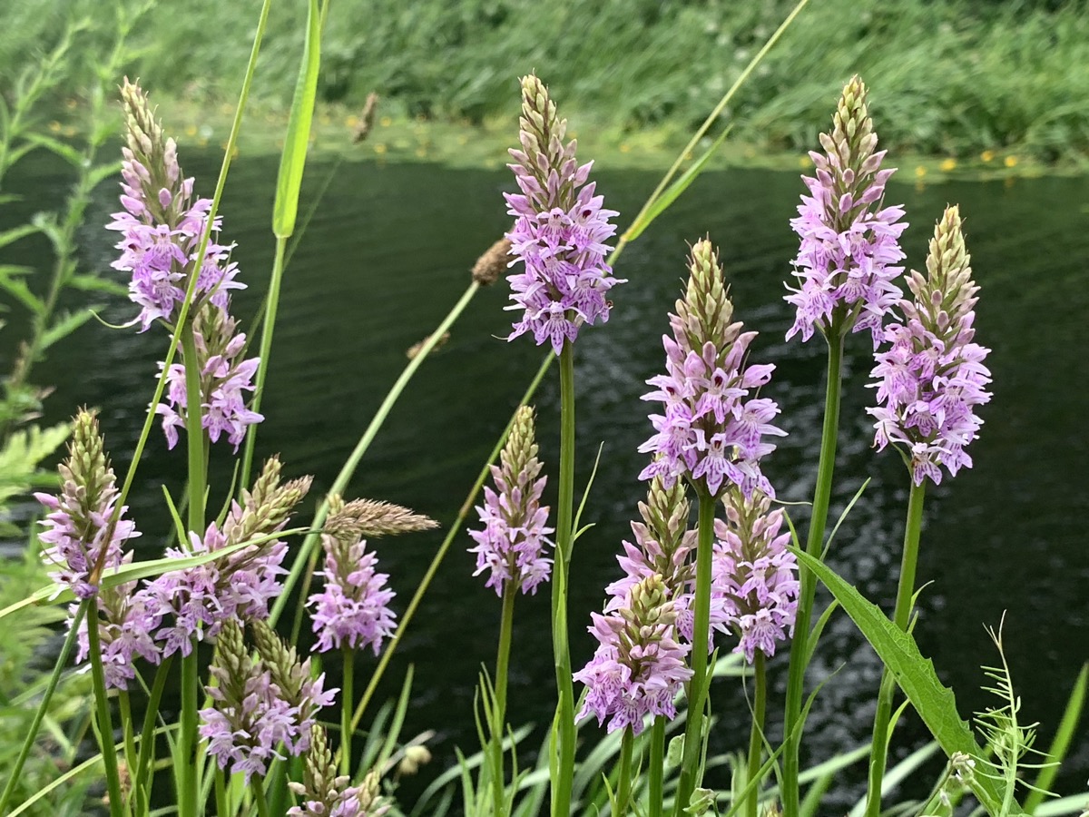
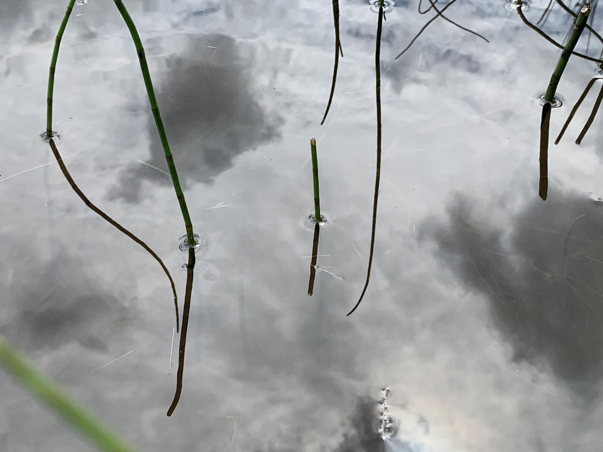
Walknote: Canal 30 Jun 2019
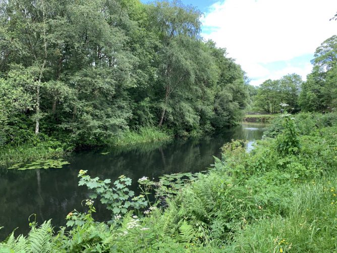
More photos and walkmap
The weather was supposed to be rainy, turned out quite breezy, lots of clouds but no rain on me.
Walked a couple of miles or so towards Firpark from Anniesland and back.
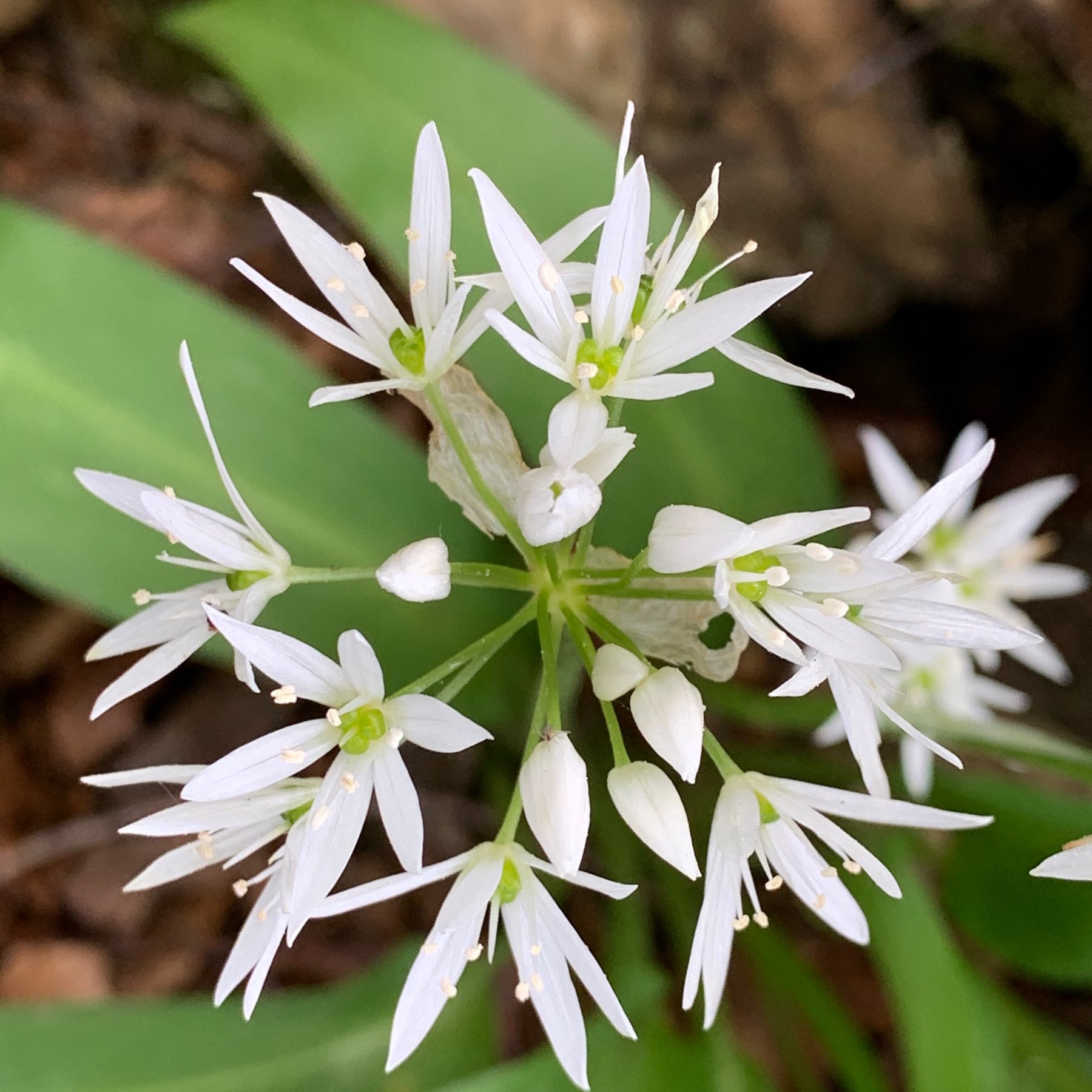
Plenty of flowers. Usual moorhens and ducks.
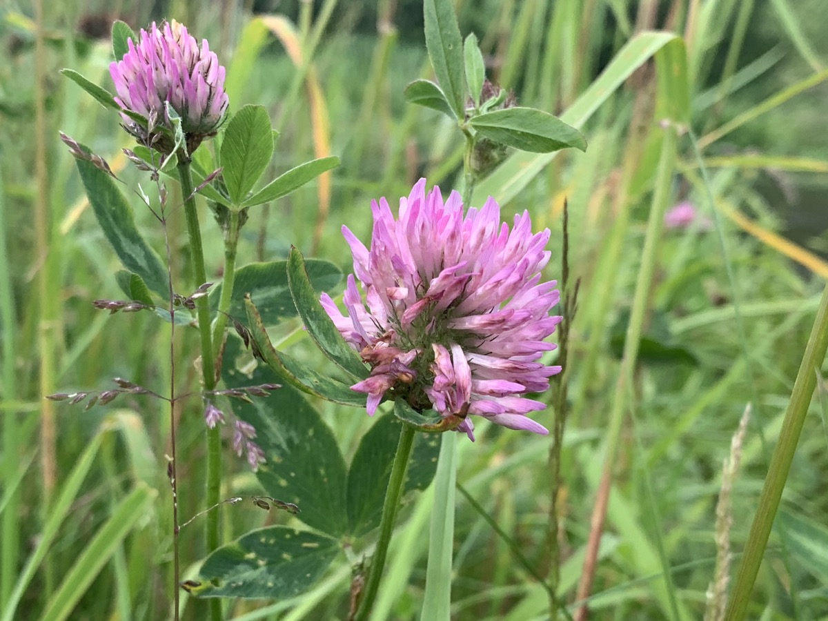
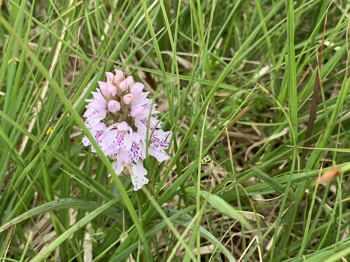
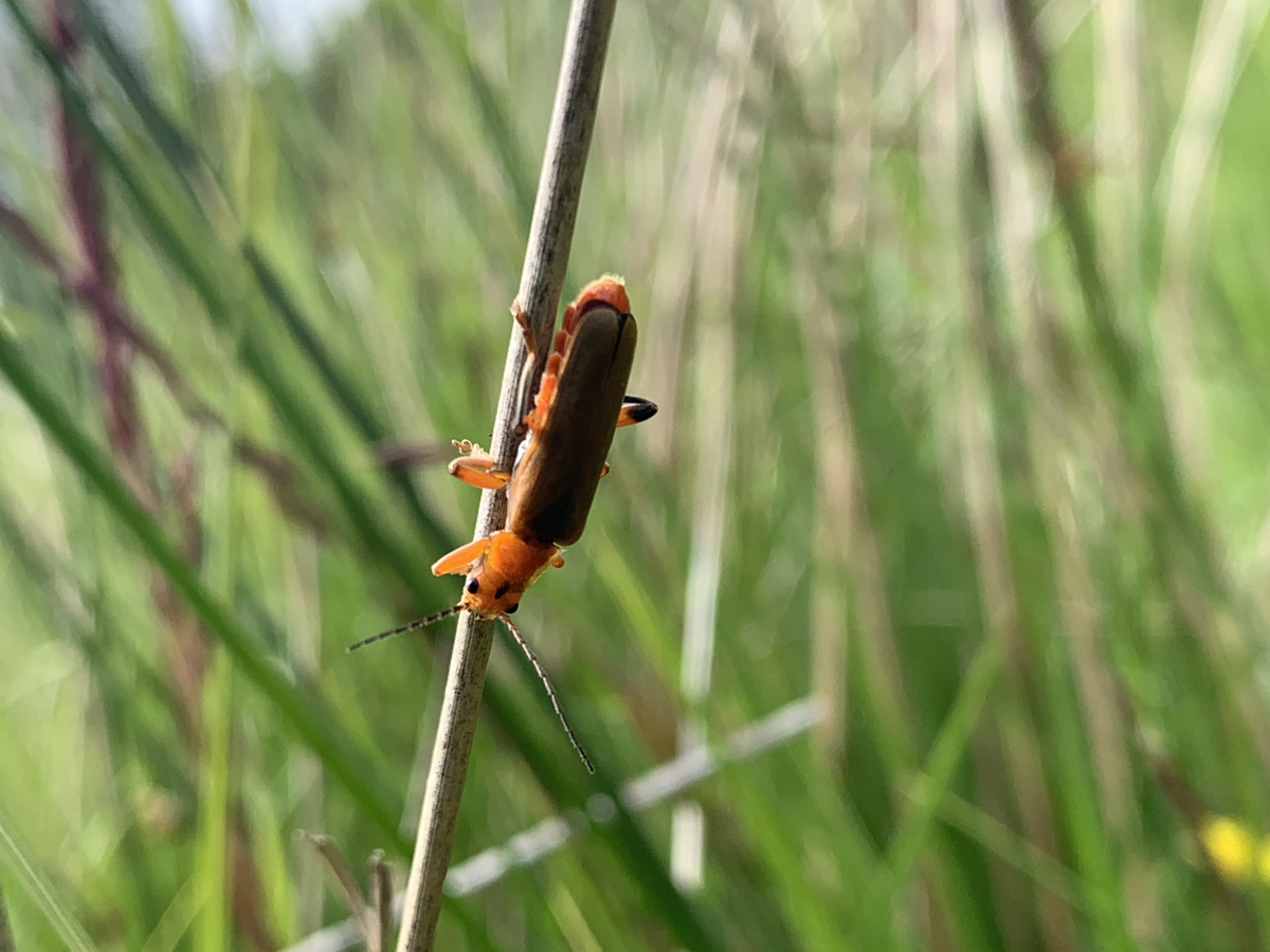
Walknotes Ardinning 2019-06-22
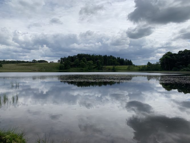
Walknotes Ardinning 2019-06-22
Lots of blue damselflies a couple of red ones. Plenty of dragonflies.
Small Heath butterflies.
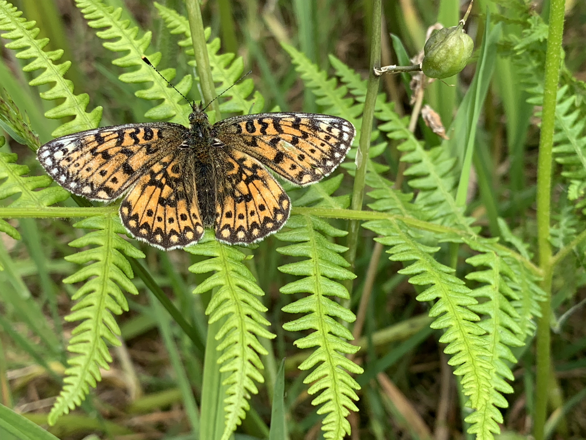
A small pearl-bordered Fritillary.
First Orchids.
A cuckoo calling.
The selfie stick useful for Fritillary.
Warm little breeze some clouds.


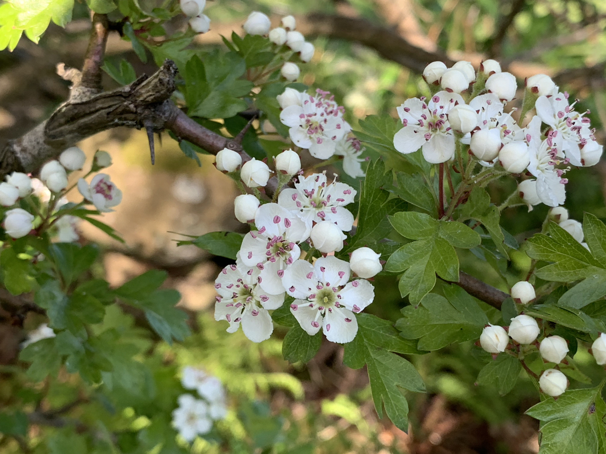
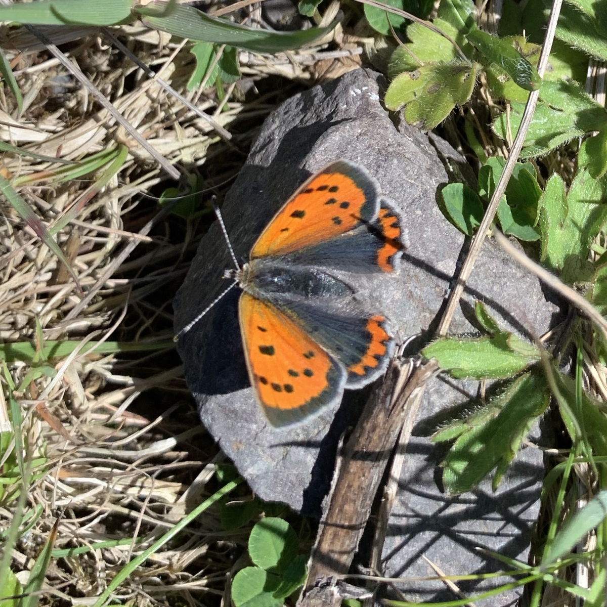
Up to Loch Humphrey. The usual route. Bright sunny, nice breeze.The hawthorn mostly out. St Marks flies lower down. Butterflies, peacocks, whites, orange tips and small coppers. A couple more to fast to recognise. A kestrel buzzed by swallows. Oak getting leaves at last.
Walk with Christine.
A cuckoo kept ahead of us on the way up to the dam. A one point going down into the grass and then onto a rock with a large wooly bear in its beak.
A dozen Red deer on the way up from the dam.
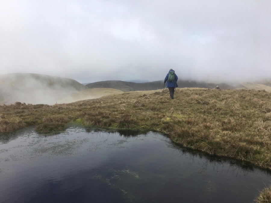
At around 11 am, rain expected turned out to be snow, a cold half an hour. Brightened up a little after that.
A good day.
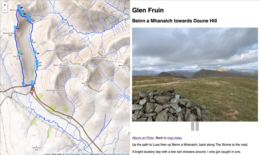
walkmapTotal distance: 12.46 miles
time moving: 5:33’31”
total time: 6:24’10”
moving speed: 2.24 mph
total speed: 1.95 mph
lowest point: 78 ft
highest point: 2299 ft
elevation gain: 4113 ft
elevation loss: 4137 ft


Changeable