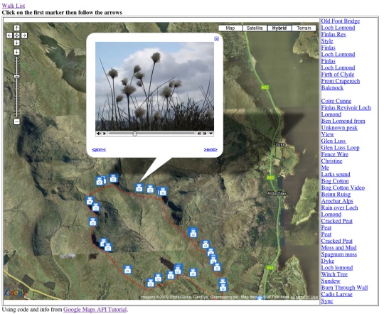
Yet another Mapped Walk.
New this time:
exiftool commandline tool which can geotag photos from the terminal or in my case SuperCard
I can link to open a particular marker, for example this one with video or this one with sound.
And I’ve started to document this on a wikp page: Mapping Walks,

Before August 2014 I used disqus for comments, so this form shows up on older posts.
blog comments powered by Disqus