
My latest effort to provide a tool for producing annotated with text and image google maps. This one adds Lightbox JS v2.0 to view full-sized images by clicking the thumbnails in the popup things.
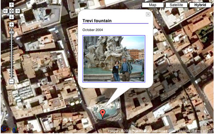 The map was produced with this setup which I think is well within the capabilities of most primary pupils. There a few rough edges that need ironed out, especially in the image upload and the code (don’t look it is horrible), but if I get a bit of time this week I’ll unleash primary six on it as testers. Fell free to make a map of your own over the next couple of days. After that I’ll be password protecting it.
Before August 2014 I used disqus for comments, so this form shows up on older posts.
blog comments powered by Disqus